
Advanced imaging services
Drone, Matterport & Thermal Imaging
Advanced documentation for losses that are unsafe, inaccessible, or easy to dispute: FAA Part 107 drone photography, Matterport 3D walkthroughs, and thermal imaging that reveals moisture and hidden damage.
What We Do & Why It Matters
Advanced Imaging Services
Standard photography captures a lot, but it does not capture everything. Roof damage on a multi-story commercial structure. Water intrusion behind walls. Moisture spreading beneath flooring. Areas obscured by debris, height, or limited access. These are the details that shape the true scope of a loss, and they are exactly what our advanced imaging services are designed to find.
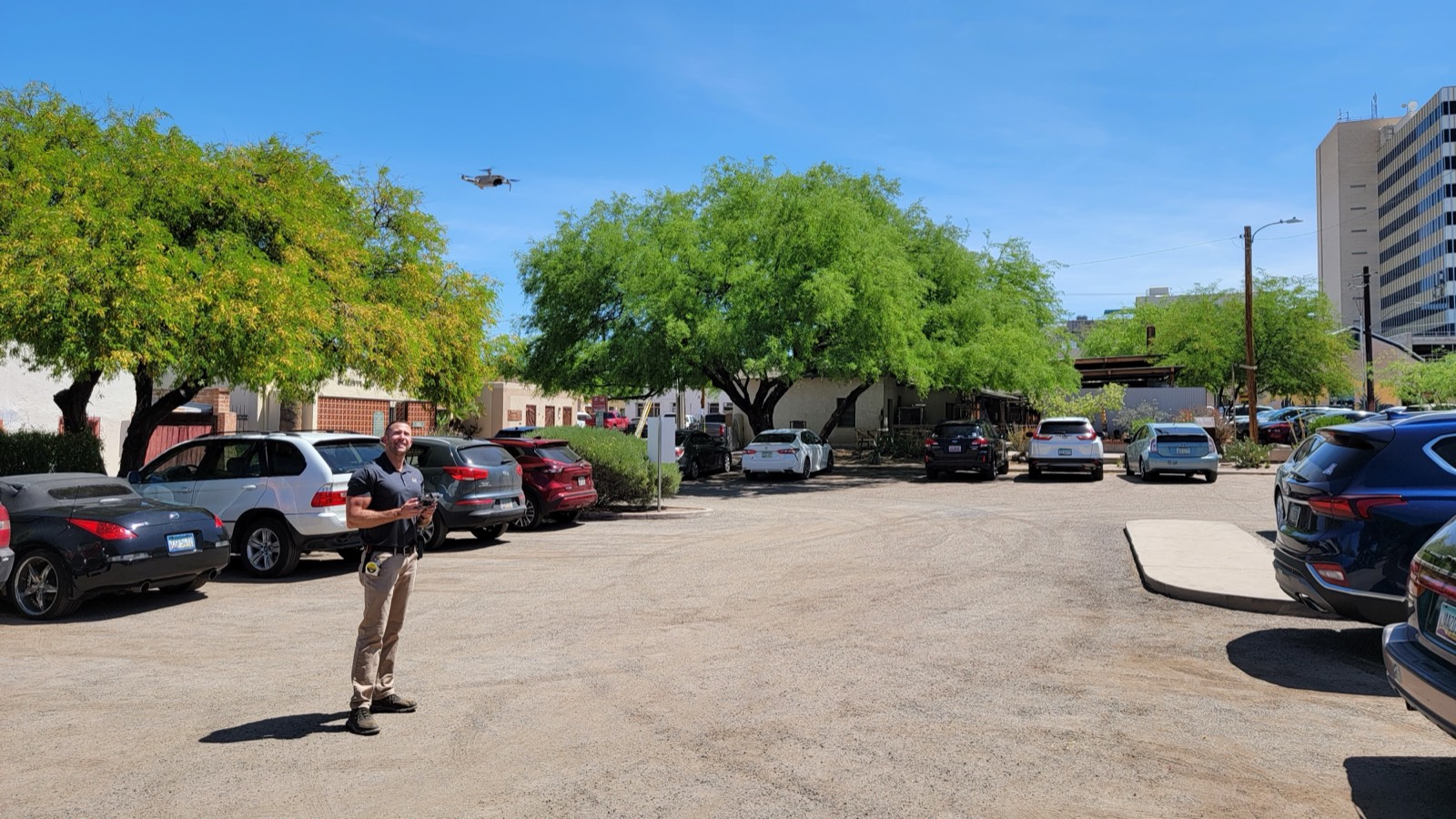
At 360BGC, we integrate drone photography, Matterport 3D scanning, and thermal imaging into our assessment process to ensure every relevant detail is documented. Our FAA-licensed drone operators and certified imaging professionals bring the same level of care and expertise to the technology side of an inspection as we do to the construction side.
Our Approach & Tools
Our Imaging Capabilities
- 01Drone Photography and Videography: Our FAA-licensed drone operators capture high-resolution aerial images and video of structures, roofs, and surrounding areas that are difficult, dangerous, or impractical to access by conventional means. Drone imagery is particularly valuable for large commercial roofs, multi-story structures, fire-damaged buildings where structural integrity is a concern, and properties where access is otherwise restricted.
- 02Matterport 3D Scanning: Matterport technology creates a fully navigable, three-dimensional model of the interior of a property. The scan captures every room, every surface, and every detail in a format that can be shared with anyone who needs to review the loss site remotely. Measurements can be taken directly from the model, making it a valuable tool for estimating as well as documentation.
- 03Thermal Imaging: Our thermal imaging technology detects heat signatures and moisture patterns that are invisible to the naked eye and to standard cameras. It is particularly valuable in water damage claims, where moisture often travels well beyond the visible point of intrusion and settles in walls, ceilings, and floors that show no outward signs of damage.
Common questions
FAQ
Are your drone operators FAA licensed?
Yes. All of our drone operators hold active FAA Part 107 Remote Pilot Certificates, which is the required certification for commercial drone operations in the United States. We operate in full compliance with FAA regulations on every assignment.
Is Matterport scanning billed separately?
The cost of the Matterport equipment is not billed separately. Our fees cover the time it takes to perform the scan, consistent with our standard consulting billing structure. We are happy to discuss specifics when you submit your assignment.
How accurate are Matterport measurements?
Matterport scans are highly accurate for general dimensions and floor plan development. They are suitable for scope development and estimating purposes. For projects requiring engineering-grade precision, we would recommend supplementing the Matterport data with traditional measurement methods.
Can thermal imaging detect all types of water damage?
Thermal imaging is a highly effective tool for detecting moisture that is not visible to the eye, but it does have limitations. It works by detecting temperature differentials, so it is most effective when there is a meaningful temperature difference between wet and dry areas. Our consultants are trained to understand those limitations and will communicate clearly about what the thermal data does and does not confirm.